994
We are already feeling the effects in the form of forest fires, floods and thunderstorms: Google Earth’s sea level simulation visualises the future
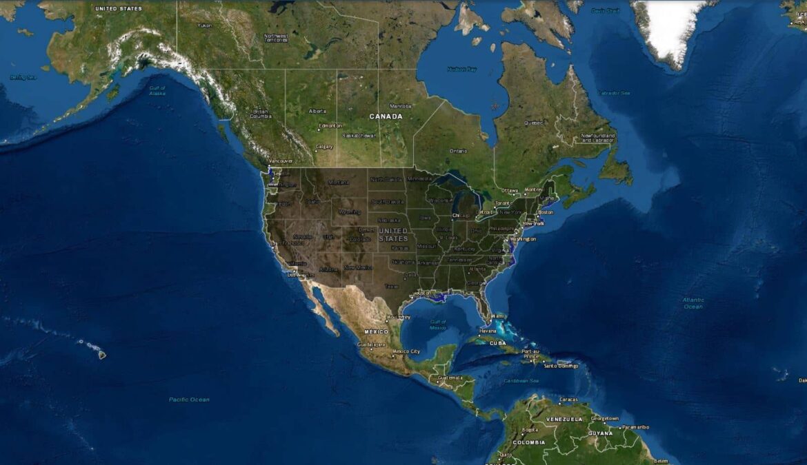
What the sea level simulation on Google Earth is
Sometimes you need to have things in front of you to understand the gravity of the situation. That’s why the Google Earth feature is really handy to know exactly what the impact of the climate crisis will be and exactly what it will look like.
- With the sea level simulation on Google Earth, it is possible to see what well-known cities in the world will look like with a global warming of 2 or 4 degrees Celsius.
- The focus here is on rising sea levels and the resulting flooding of populated border areas.
- The Google Earth feature introduces a wealth of information about the causes of climate change and sea level rise, and then vividly simulates what cities like New York or London would look like if they were completely flooded with water.
- The simulations, in which you can also move around and look at specific streets, places or sights, distinguish between the situation with 4 degrees of global warming versus 2 degrees of global warming.
- This distinction is important and brings you visually and interactively closer to what a big difference two degrees makes: Much less water!
- Nevertheless, even the 2 degree predictions are scary, because again, the Palace of Westminster in London is completely flooded. It makes the policy’s 1.5 degree target seem even more urgently insufficient.
- You can easily click through 8 stations showing different cities in different parts of the world. Next to the simulations, texts about the cities are added, explaining what would change with global warming and showing how many people would be affected by the catastrophic effects of 4 and 2 degrees of warming respectively.
- The texts about the respective cities are filled with information about what the initial situation of this city is and what problems the people there are already struggling with.
- Despite this, the simulation arouses ambition. Is this what you want our world to look like? No, thanks! Have it right in front of your eyes and you will think exactly that and as a result of the Google Earth function, perhaps more fighting spirit will develop against climate change.
- Cities like New York, Shanghai, Rio de Janeiro and San Francisco don’t exist even close to the way we know them today – and that’s with just 2 degrees of warming. The Google Earth function brings this vividly and informatively closer.
- The feature is also enhanced with videos to give even more information and serve further explanation.
Why is the sea level rising in the first place?
Rising sea levels, more heat, more rain, more storms, more severe weather and more uncontrollable forest fires. The list of climate change impacts is long. But why is sea level rising in the first place when the climate is changing?
- The answer to this question can be answered with a simple “The ice is melting”.
- If the polar regions are cold enough and everything is iced over, there is no problem. However, if the amount of greenhouse gas emissions by humans steadily increases, this changes the climate.
- A changing climate in this case means warming that melts the ice of Antarctica and Greenland.
- It is important to distinguish between freshwater and saltwater ice. If the latter melts, the sea level does not rise, but with the former it does. In addition, there is a lot of land ice on Greenland, for example, because Greenland is a continent. This ice is therefore not already part of the ocean, but only flows there when it melts and is thus added as water volume.
- Less ice at the poles also means that less solar radiation is reflected back through the white ice, which means that the oceans would absorb the solar radiation. The result of this is a further acceleration of the melting of ice, as in a vicious circle.
- Another factor is the expansion of the volume of ocean water in a warming climate. The water thus needs “more space”, among other things.

